Q & A
ZOLL Respond is the mobile companion app for ZOLL’s CAD solutions, RescueNet Dispatch (RND) and ZOLL Dispatch. It allows for better patient care by streamlining communication of assignments, status updates and availability between dispatch, crews, and supervisors.
Upon logging in the ZOLL Respond, crew members can review their initial post assignment, see assigned trips for their shift, get directions to pick-up and drop off locations, and receive communications from Dispatch. A Big Red Button notifies a crew member of a new pre-scheduled or emergent assignment.
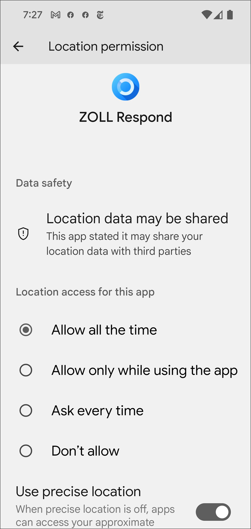
The ZOLL Respond application collects location data to enable background location, navigation, and AVL updates. Data is collected whenever a user is logged into Respond on the device. Once the user is logged off or the application is closed it no longer collects this information.
When a trip is assigned to a unit, a big red button displays on the Respond device along with an audible sound to notify the crew of a new assignment. The crew member taps the button to see assignment details.
The following is a recommended workflow after the trip is assigned and the crew taps the button:
-
Select Active Trip.
-
On the Pick-Up tab, review the pickup address to get a general sense of where you will be heading.
-
Click Trip information to review important information such as priority, nature, comments, and alerts.
-
If navigation is desired:
-
Return to the Pick-up tab and select GO in the bottom right corner to launch your device's default mapping solution (Google Maps or Apple Maps).
-
Review the selected route and choose an alternate route if desired.
-
Click Start for navigation.
-
-
Once navigation is complete, return to Respond using the recent app or back button (device and OS dependent).
-
As you approach the pick-up location, you will be prompted to confirm you are At Scene.
-
Select At Scene when appropriate.
-
After loading the patient into the vehicle, get a general sense of where you will be taking the patient by reviewing the information in the Drop-Off tab.
-
If navigation is desired, select GO in the bottom right corner to launch your mapping solution.
-
Once you are moving, update the trip status to Transporting either via the automated prompt or by using the status button in Respond.
-
When you arrive at the drop-off location, update the trip status to At Destination either via the automated prompt or by using the status button in Respond.
-
Once the patient has been delivered, update the trip status to either Partially available or Complete based on your needs.
Setting status to "Complete" tells Dispatch that you are available for another assignment.
Data source transmissions
ZOLL Respond works optimally with a consistent data connection on the device. The ZOLL Respond application can connect to Dispatch using either an active Wi-Fi connection or a cellular data connection (if enabled). Connectivity may be interrupted as the device switches from cellular to Wi-Fi or between different Wi-Fi sources. This interruption may cause delays in trip assignments, notifications, and trip updates until the device is able to successfully obtain internet connectivity using the new data source.
PRO TIP: Using a cellular data connection creates a more seamless user experience. If this is an option and data usage isn’t metered, we recommend turning off the Wi-Fi on the device and relying on mobile data to avoid interruptions in connectivity.
Vehicle modems
An onboard modem providing a Wi-Fi source is an efficient way to provide data connectivity for multiple devices. Please note that when a device is carried off the vehicle, into a hospital or post for instance, the device will attempt to transition to the strongest signal available and a brief interruption in connectivity will occur. If the device lacks appropriate Wi-Fi credentials, or there is a secondary sign-in process required, this may result in a loss of connectivity until the device connects successfully to the internet.
Out of cell service behavior
When a device is in an area without adequate cell service and lacks a Wi-Fi data source, the user will see a red cloud icon and receive an audible notification. During this period, all trip updates (status changes, timestamps, comments, other details) and device location data will continue to be recorded and stored on the device. Once the data connection for the device is restored, ZOLL Respond will synchronize data with the CAD to ensure updates are not lost.
Accurately identifying and navigating crews to a specific location is a critical aspect of any CAD solution. ZOLL is constantly researching ways to improve this important function within the ZOLL Respond application, however, there will always be limitations and edge case scenarios that present challenges for the software. Those challenges differ depending on the underlying mapping solution being utilized. Geocoding is the logic used to identify a specific latitude and longitude based on an address-based location.
Geocoding for ZOLL Respond for RescueNet Dispatch
RNDB uses street location geocoding. This is different in that it geometrically breaks down a street based on the street data provided. As an example, you might have a 500 block of main. The next block is the 600 block of main. It will geometrically break up the street into segments and assume where 512 main is on the 500-block based on the street data. RNDB will send either a geocoded location (lat/long) or a street address to the Respond application.
Dropped pin or non-address-based locations
A ZOLL Dispatch user can add a non-address-based location during call taking by dropping a pin which will designate the scene’s latitude and longitude. It is VERY important to note that since Google is an address-based solution, it will attempt to name that location based on the closest registered address. The latitude and longitude will remain fixed at the point specified by the dispatcher, but the text may reference a nearby street and could be misleading.
Routing using Google & Apple
Because Google does not allow applications to embed their routing, the Google navigation must be invoked from Respond. ZOLL Respond has no control over how Google or Apple will route users outside of providing the coordinates we get from the CAD. Crew members should verify the route much like they would if they were using Google routing as civilians. We use latitude and longitude coordinates when we invoke Google, so the route should be as accurate as possible with street data as mentioned above, but it is always important for crews to verify the accuracy of the route.
PRO TIP: When non-address-based locations are required (like a highway, overpass, or open field) crews should be notified via comments (and radio).
Notes:
-
We will always log the route as it is passed into Google when external routing is invoked.
-
Google Maps or Apple Maps will be accurate to the pin location if they use the application routing (blue line). Crews should NOT read the address location provided and navigate to that address based on their knowledge of the area since that address may not be the pin location.
-
Google Maps is continuously being updated and improved based on new roads and addresses and input from users. ZOLL Respond has no direct influence over the data and when specific new or modified map data will be available. If additions, changes or updates are needed the best process for getting this resolved is to contact Google directly as indicated in this article: https://support.google.com/maps/answer/3094088?hl=en.
-
The native mapping application will use existing routing options configured on your phone such as avoid tolls, avoid highways, etc.
ZOLL Respond automatically prompts users to update their trip status to At Scene, Transporting, and At Destination based on the geocoded pick-up and drop-off locations and device AVL data.
For instructions, click here.
For instructions, click here.
Customers utilizing Mobile Device Management (MDM) solutions to manage their ZOLL Respond devices must be sure to enable and allow all required settings for location services and notifications. Ideally, all settings are also visible to the crew member so that they can confirm appropriate permissions in the case of troubleshooting.
ZOLL Respond can be used on both agency owned devices and personal devices. In either case, the appropriate permissions must be granted to the application.
Issues with notifications, locations, or routing
Checking ZOLL Respond permissions is a great place to start if you having issues with notifications, locations or routing. The following figures may be different from what you see on your phone. You may need to use Google to find your specific device settings if you are struggling to confirm permissions.
| In your application list screen, search for and launch the Settings application. | 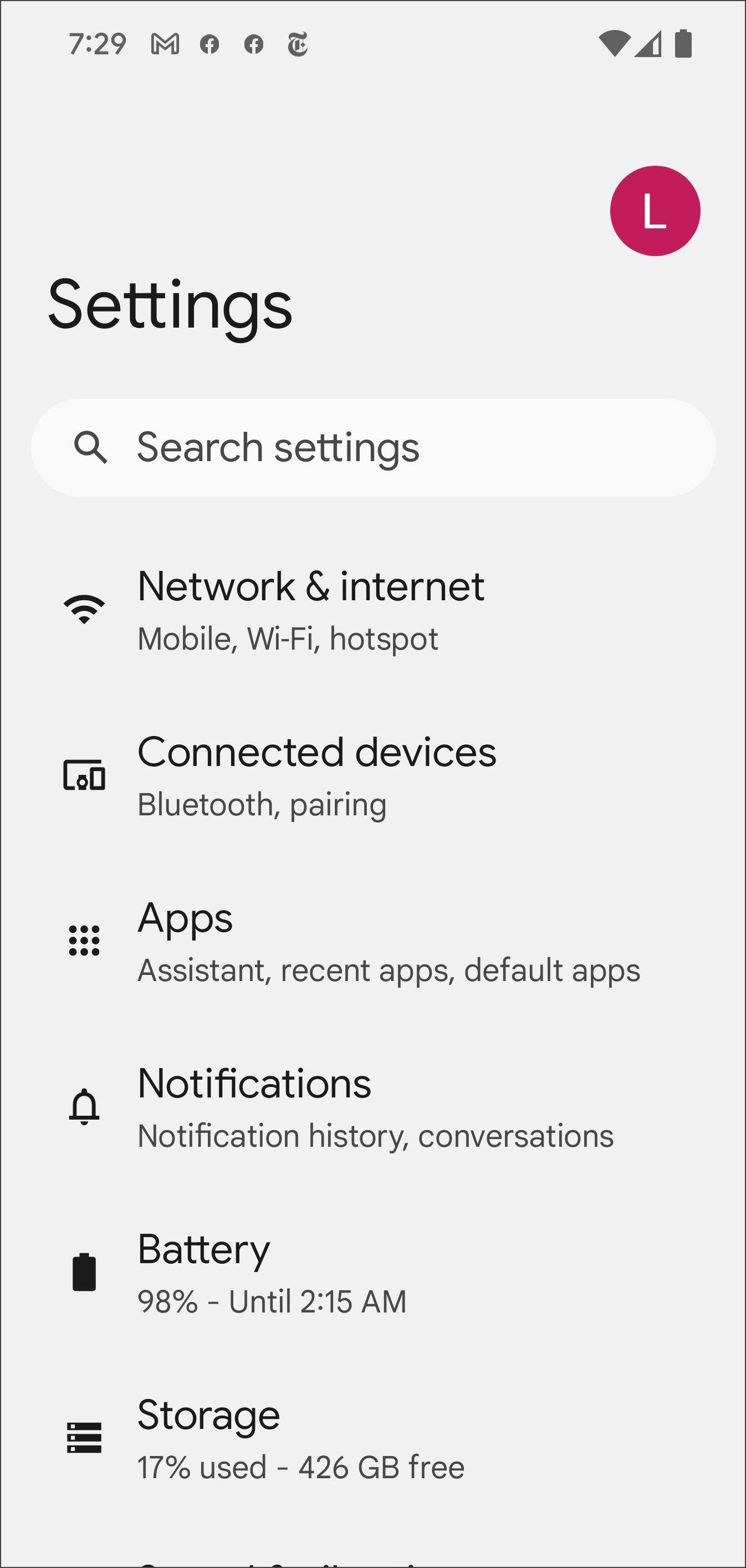
|
| Scroll to find the "Apps" menu item within Settings. | 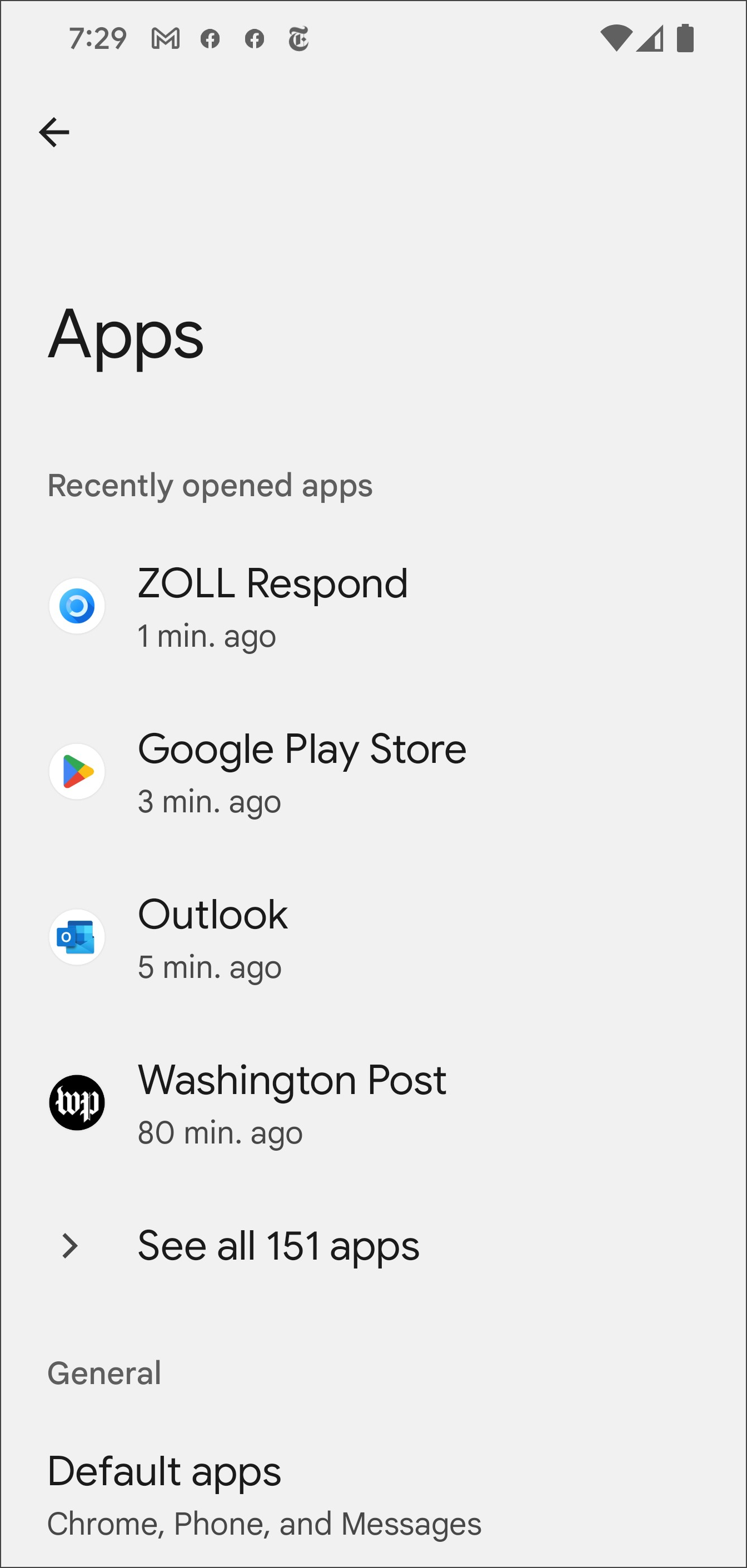
|
|
Tap the ZOLL Respond application in the list. To verify the settings, click the appropriate phone type below: |
|
As an Administrator, you can view all the enabled and disabled devices using the Device Management page. Click here to read instructions.
Respond has the ability to automatically send the odometer reading with a timestamp status for an incident. When collecting the starting odometer on the initial crew change, that value becomes the starting point. If you are not collecting the starting odometer, the start value is zero.
Each GPS feed processed by the software adds the distance from the previous feed to the total odometer value. When a user clicks the timestamp button, the system records the current odometer value and ties it to the status of the active incident. This value is only an estimate. Caution should be used when billing based on the mileage difference between two timestamped odometer readings. GPS receivers inherently have inconsistencies, with each feed potentially being off by 3 to 10 meters—or more when using AGPS. As a result, even when a vehicle is travels in a straight line, there will be zigzag motion that could add additional odometer mileage.
The farther a vehicle travels, the greater the potential for variation in distance measurements. One contributing factor is a GPS error known as MultiPath, which occurs when the direct GPS signal to the receiver is obstructed, causing the signal to reflect off surfaces such as buildings, mountains, or the ground. This reflection increases the signal's travel distance, leading to inaccuracies in the vehicle’s reported position. To mitigate this, Respond offers configuration options that allow users to define a maximum allowable distance between GPS feeds and set a threshold for the number of erroneous feeds to ignore before accepting them (see Tuning Items). While these settings help filter out significant discrepancies, they do not eliminate minor GPS errors, which can accumulate over time and inflate odometer readings.